


Studying sustainable transportation metrics can help planners understand the potential for change, and where to improve. For example, can your city find ways to encourage more bike and pedestrian travel? Does your city’s land-use planning lend itself to increasing density?
Or perhaps this ranking can spark other ways of thinking about mobility in context. Maybe compare your city’s ranking to its Gross Domestic Product, as a measure of its transportation “efficiency.”
As with any transportation data, we invite analysts, planners, and engineers to go deeper. Use our metrics to measure your own emissions, as the Twin Cities Metropolitan Council did here. ways to improve your city. Share metrics with other stakeholders to spark fact-based discussions. Work with other planners to improve transportation in the larger context of land use.
We look forward to recognizing success and celebrating improvements in our next annual U.S. Transportation Climate Impact Index.
Find Your Ranking
West |
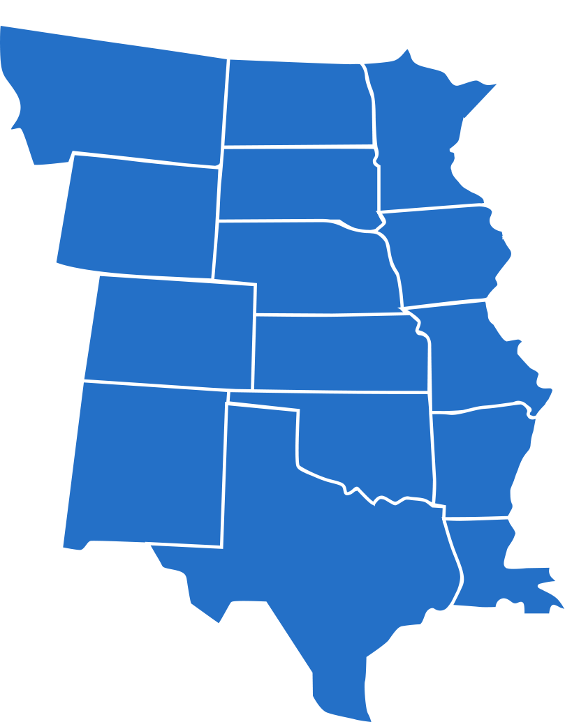
Central |
Mid |
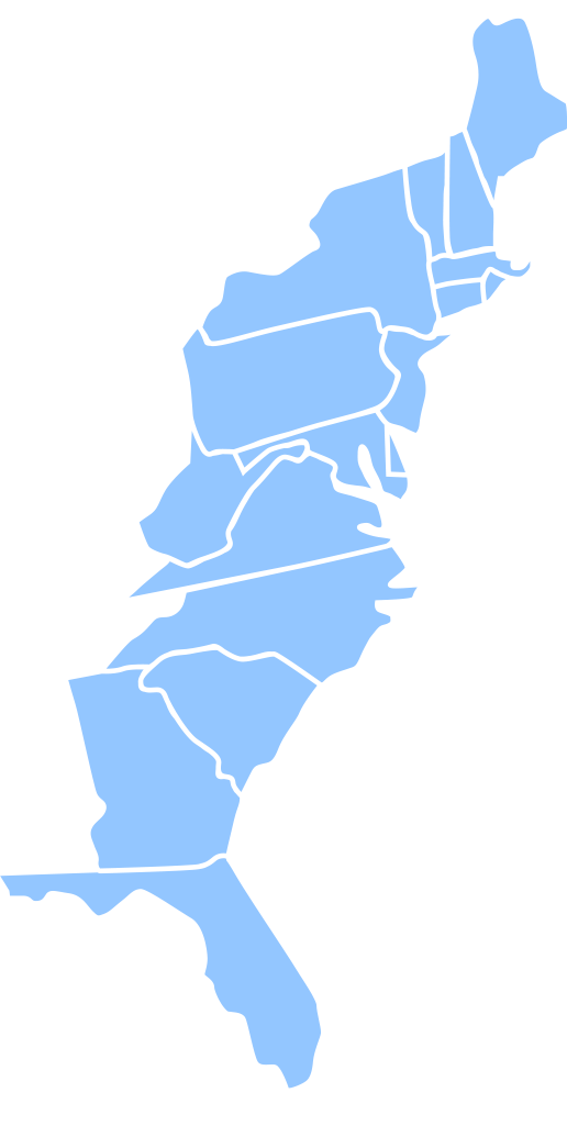
East |
 |
 |
 |
 |
Learn More About the Climate Impact Index

Overview and The Top 10

Best and Worst: Rankings by Key Indices

Research Methodology