Our data scientists analyzed ~30,000 U.S. towns with <40,000 residents to identify communities with fewest “exit routes” per resident. Explore the interactive map for 675 towns with 3X the average evacuation risk of all towns analyzed.
Are you with a department of forestry or fire protection? Contact us, and we’ll follow up with more detail.

Map Key:
Pink areas pinpoint the 675 U.S. communities with limited evacuation routes. Refer to the section below the map for underlying methodology.
Hover over each area for the town’s population, the number of exits, and the main exit “load,” indicating the percent of daily traffic using the main exit route.
Methodology:
Using StreetLight’s vast repository of nationwide, hyper-local transportation metrics, our data science team analyzed the approx. 30,000 towns in the U.S. with populations under 40,000 based on U.S. Census, scoring them using a ratio of the number of roadway “exits” available in each town and the average “load” on the most-used exit, weighted by town population. We then selected a subset of 675 U.S. communities that scored at least 3 times the average of all towns analyzed. You can download the full list and accompanying statistics, including the following detail for all 675 communities, broken out by state:
- POPULATION, based on U.S. Census
- EXITS, i.e. the number of usable vehicle exits incl. paved and dirt roads
- MAIN EXIT LOAD, i.e. the % of daily traffic using the main exit route
Sample findings:
- There are 12 states with at least 20 communities at risk.
- The five most exit-constrained communities are islands.
- One of the three states with the most-at-risk communities is landlocked.
- While many think of coastal areas as constrained, many of the communities on the list include canyons or localities by lakes with minimal exits.
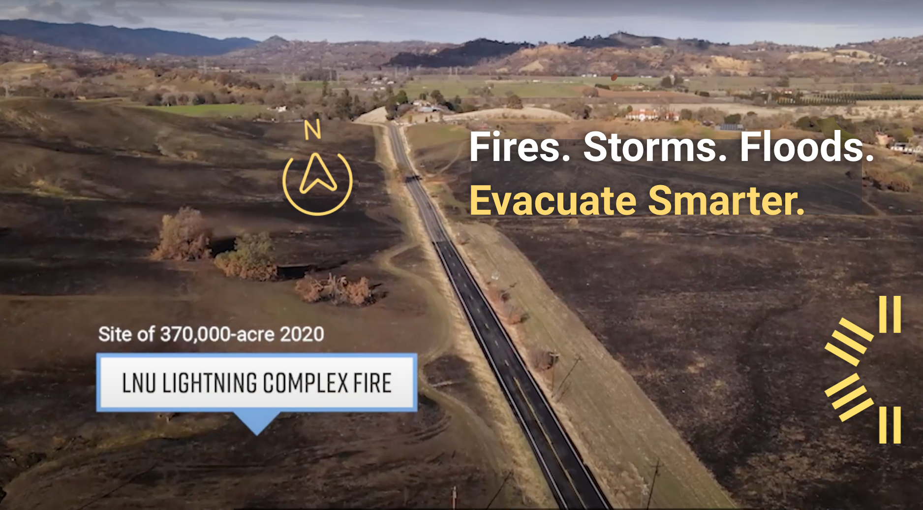
Video:
Watch a 90-second video from a California community affected by 2020’s LNU Lightning Complex Fire that brings to life the StreetLight study and its methodology.
Get access to traffic data for emergency response planning
Talk to us about evaluating options for your community's emergency services or evacuation planning.