Deep transportation intelligence to build safe, sustainable, connected communities
Let us know your most pressing transportation challenges. We'll recommend a solution that can help.
Measure transportation activity in 15-min bins, by road segment, area, and more.

Developed by transportation experts and tested by agency peers to quickly measure congestion, safety, and more.

Leverage exhaustively tested recent and historical insights, and new data sources as they emerge.

CSV, Esri ArcGIS, API, 3D visualizations, and more, to integrate into your preferred formats.
Powering 10,000+ transportation projects every month across North America.
.png?width=1785&height=1069&name=SLD-map-Feb2023%201%20(1).png)


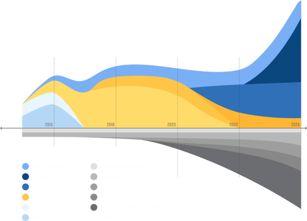
Since 2011, we have harnessed hundreds of data sources that contribute to our Route Science® engine, developing unmatched transportation data processing capabilities and a deep, empirical understanding of how North America’s roads, sidewalks, and transit interact.
Our market-leading repository continues to expand to take advantage of new data sources, new
transportation modes, and changing travel patterns.
We have built a trusted data science foundation, so you don’t have to.