App Developers & ConsultantsCreate unique products using StreetLight’s rich datasets and APIs.View Developer Resources
Marketplaces & ResellersOffer StreetLight’s datasets to help your users achieve better outcomesBecome a Reseller
Data PartnersHave data that could enrich StreetLight’s analytics? Talk to us.Become a Partner
Company
Discover our journey from pioneer to industry leader
Learn more about us
Featured report

The State of VMT & Congestion: How Rising Trends Impact U.S. Metros

View report
Get Started
Products
For Government
For Consultants
Transportation Systems Management and Operations (TSMO)
Traffic Monitoring
Plans
App Developers & ConsultantsCreate unique products using StreetLight’s rich datasets and APIs.View Developer Resources
Marketplaces & ResellersOffer StreetLight’s datasets to help your users achieve better outcomesBecome a Reseller
Data PartnersHave data that could enrich StreetLight’s analytics? Talk to us.Become a Partner
Company
Discover our journey from pioneer to industry leader
View All Company
About UsCareersPressUniversity ResearchData Privacy

Transportation modeling data

Build a future-proof transportation network

Enhance your transportation model with the most up-to-date and comprehensive empirical mobility data. Get on-demand and comprehensive multimodal inputs to ensure you’re building a reliable future transportation network without relying on costly and time-consuming traditional data collection.

Get started

Power your transportation models with trusted mobility data, available in minutes and at scale

Up-to-date and validated data inputs support robust traffic simulation and model development, that keeps up with changing demographic, mobility, and spatial conditions.

1
Don’t rely on assumptions

Update your base year models with reliable data that reflects real-world conditions.

2
Power models with detailed, recent data

Analyze traffic activity by time of the day and day of week on any road to reflect current conditions.

3
Save time & money

Put minimal strain on resources with validated data inputs available in few clicks.

Develop transportation solutions that work now and in the future

Get started
Sketch Planning Models

Evaluate major shifts in travel happening due to changes in land use, behavior, port activity, or sub-area in a few clicks.

Screenline & O-D Calibration

Get relevant volume counts to develop a reliable traffic model and understand how travel patterns are influenced.

GHG Emissions & Air Quality Assessment

Easily estimate the miles traveled on any road, area, or region, and conduct emissions measurement and air quality analysis.

Traffic Simulation Models

Estimate origin-destination (O-D) routing and traffic counts to support microsimulation and traffic analysis.

Filling Data Gaps and Validating Models with Big Data

Read success story
The challenge

The City of Edmonton, Canada’s, annual traffic count program was canceled during the pandemic, leaving city planners with data gaps. As a result, it became difficult to understand the impacts of COVID-19 on Edmonton’s mobility system.

Data-based solution

With StreetLight, the city obtained critical insights that captured travel across the entire city, including inter-zonal and short-distance traffic. They could calibrate and further optimize StreetLight’s metrics enabling the planners to get the results they needed to validate their model. They not only filled in the data gaps, but city planners could also now visualize insights to understand the dynamic data in the changing mobility landscape.

StreetLight Transportation Modeling: At a glance

Get started
Origin-Destination

Measure the volumes of vehicles through an origin and destination to build reliable travel models.

Multi-Year Data

Understand routing patterns along your network across multiple years.

Trip Attributes

Analyze recent mobility data, including travel time, speed, trip length between O-D pairs to study reliability, congestion, and more.

Traveler Attributes

Incorporate equity in decision-making with inferred trip purpose, historical demographics, and household characteristics.

Charts and Visualizations

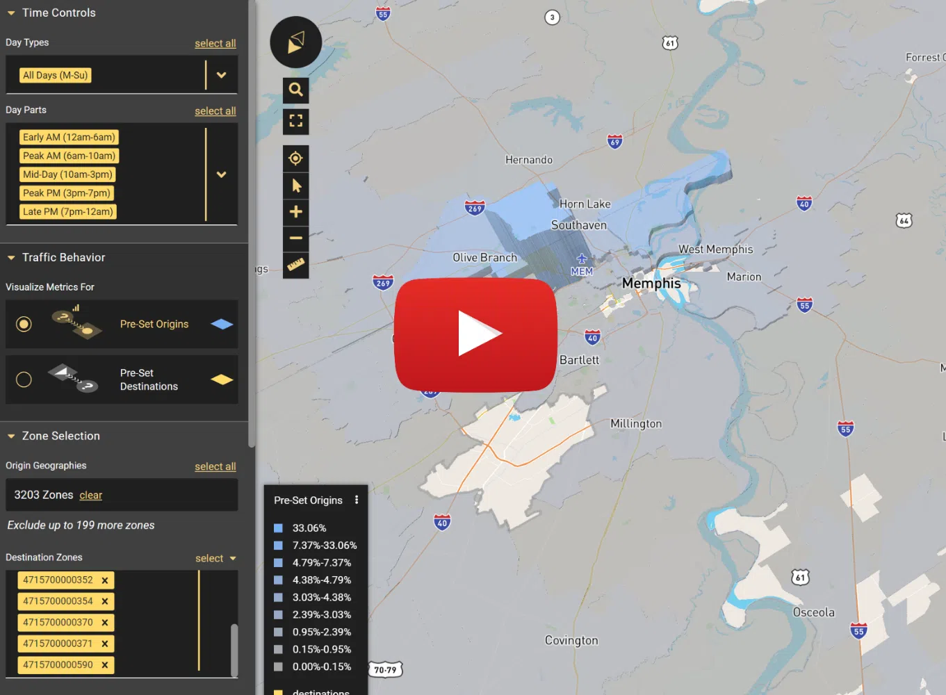
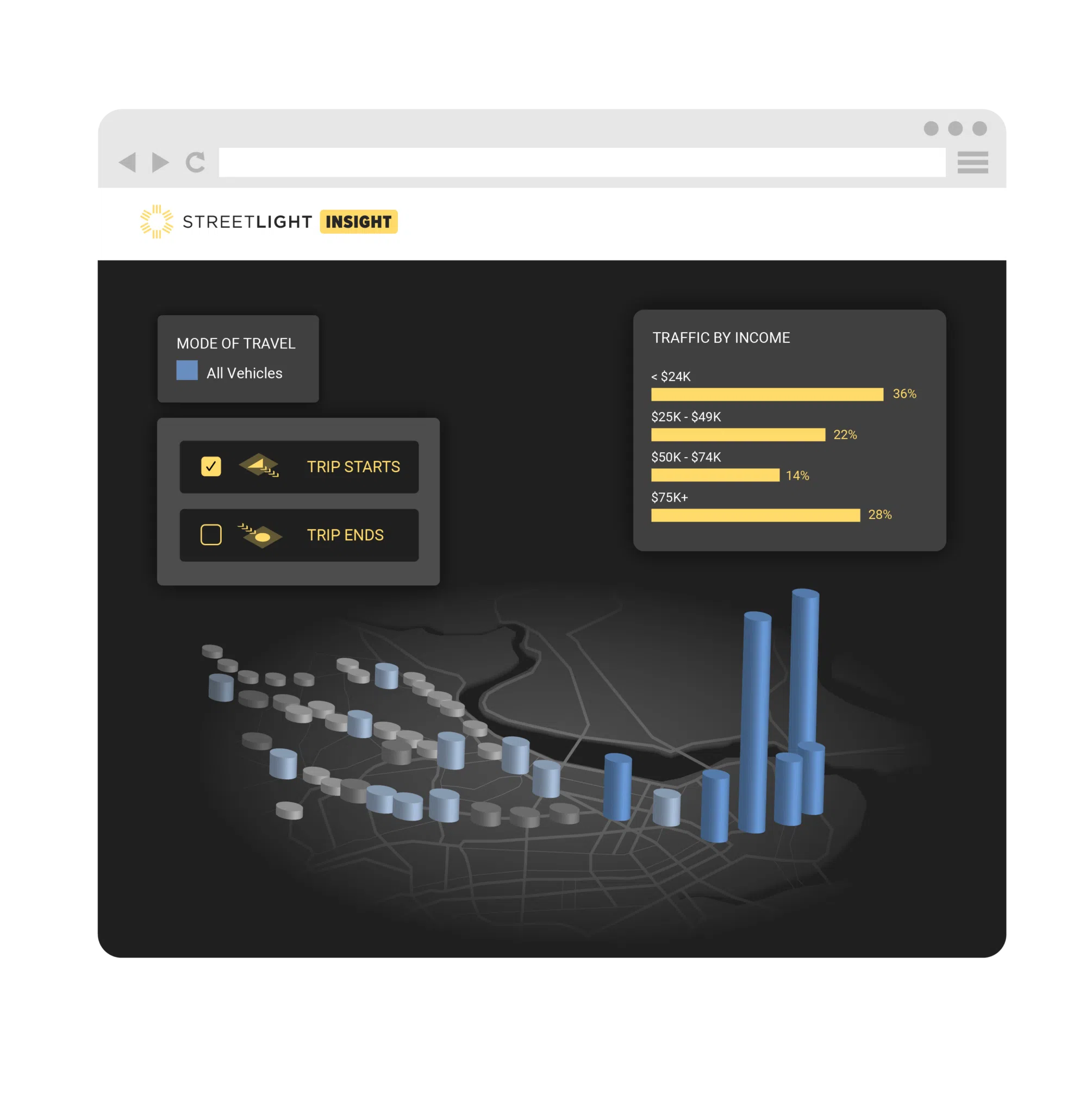
Access metrics and 3D maps to predict routes with select links by day parts, day types, 15-minute, and peak hours.

Check out other StreetLight products

Access our full suite of tools and visualizations to solve all your most pressing transportation planning challenges.

Traffic Volumes

Advance your infrastructure projects with accurate traffic data available for all roads, in just a few clicks.

Learn more
Freight Planning

Accelerate your freight planning decisions with the industry’s most robust truck
activity data, available in minutes.

Learn more
Congestion Management

Solve bottlenecks with quick access to multi-year traffic insights for all your roads in one easy-to-use platform.

Learn more
Corridor Studies

Accelerate corridor improvements with multi-year mobility trends, available in minutes.

Learn more

Our Customers

See why they chose StreetLight

Many Cities and MPOs do not have access to regular traffic counts on low-activity corridors such as local roads. StreetLight is a next-generation data source, offering a more comprehensive traffic picture than we’ve ever had before. The applications are endless.
Sandeep Datla
Sr. Transportation Modelling Engineer, City of Edmonton
We wanted to make sure the data we have is as good as we can get. So, we decided to go with StreetLight.
Rob Beuthling
Traffic Planning Engineer
We compared StreetLight’s volume estimates with WisDOT’s continuous counts. The result showed that StreetLight’s AADT were very reliable.
David Kanning
Transportation Planner & Modeler, Greater Madison MPO
Previous
Next

FAQs

Quick answers to questions you may have

Discover everything about StreetLight’s transportation modeling product features, benefits, and more.

What is the Transportation Modeling solution?

StreetLight’s Transportation Modeling solution delivers empirical, validated, transportation data to help you build and calibrate highly sophisticated models at any level of granularity, including micro-, meso-, and macro-simulations. This solution includes transportation metrics commonly used in modeling efforts, such as roadway volumes, O-D data, speed data, and more.

How is the data collected?

StreetLight uses data collected from connected vehicles and the Internet of Things, which is rigorously anonymized, validated, and processed by our Route Science® engine to turn these trillions of data points into recognizable mobility metrics like Annual Average Daily Traffic (AADT), Vehicle Miles Traveled (VMT), Origin-Destination patterns (O-D), and more.

StreetLight processes more than 7 billion trips monthly to build detailed transportation metrics based on hundreds of data sources.

Can I integrate StreetLight’s data with other modeling tools?

StreetLight’s data can be accessed multiple ways, making it easy to integrate data into other modeling tools. You can access the data via API to seamlessly integrate into your apps, dashboards, GIS platforms, and more, or use StreetLight’s self-service software platform, with purpose-built data visualizations and analytics customizations. Any data you access can also be exported into commonly used formats like CSV and Shapefiles.

Do you provide data via API?

StreetLight provides easy-to-use transportation APIs, including the StreetLight InSight® API that can be used to integrate our analytics into many mapping and modeling tools.

Do you need data to inform your next project?

Talk to StreetLight about your needs, and join us in shaping a more efficient, sustainable world.

Get started