With four years of data on more than five million miles of roadway, StreetLight Data’s metrics offer endless transportation insights. Dive into our ebooks and research reports to learn more.

Transportation Climate Impact Index 2024: How metros rank across 8 key factors
As agencies across the U.S. work to reduce emissions, how is climate-friendly transportation faring in your region? See where your city ranks on 8 key factors impacting emissions in our 2024 Climate Index.
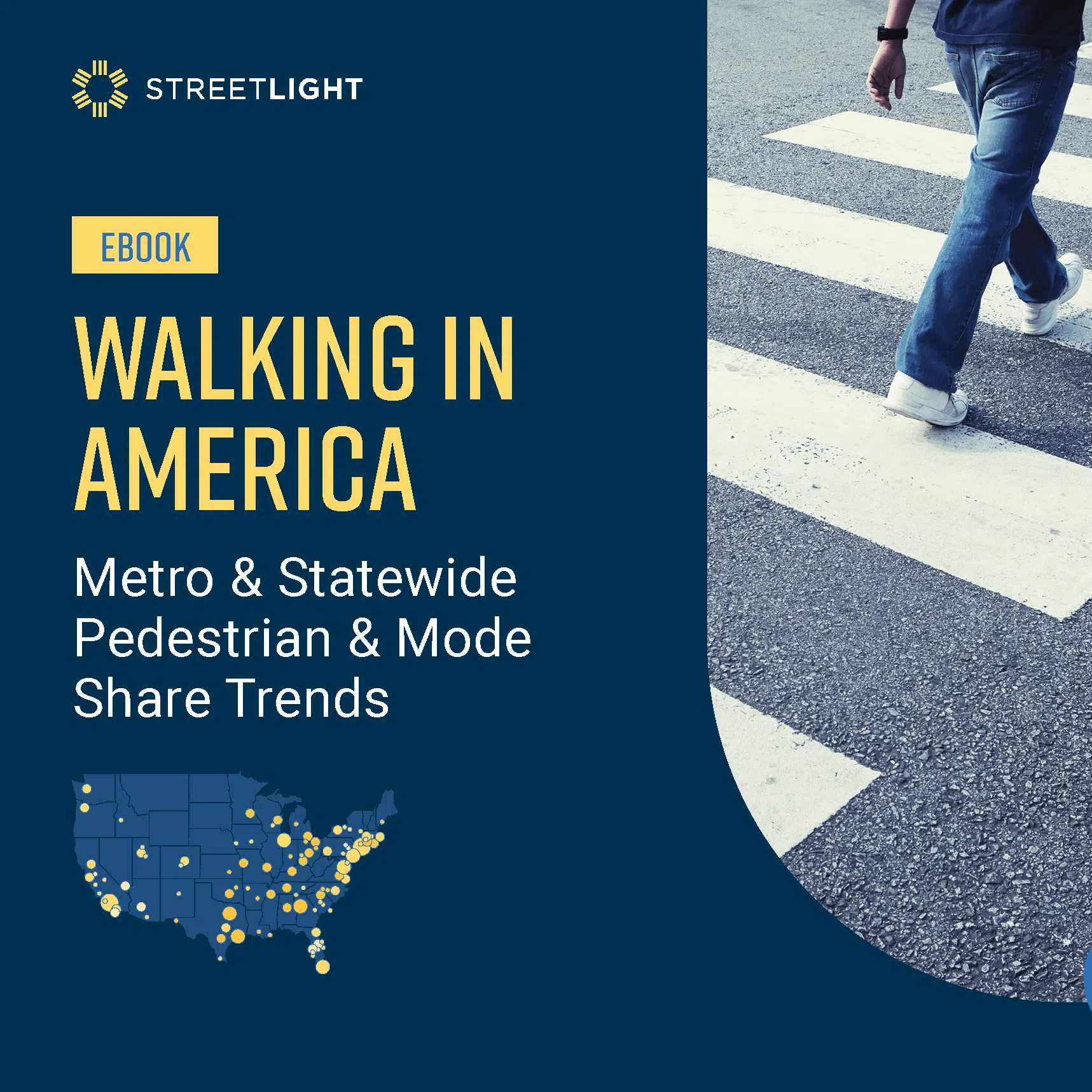
Walking in America: Metro & Statewide Pedestrian Activity & Mode Share Trends
With pedestrian activity declining, our new analysis of walking and mode share data shows where U.S. cities and states rank and what this means for safety.
Biking Boom or Bust? Ranking U.S. Metros & States by Cycling Activity
In 2020, headlines touted a boost in biking activity. This report explores the latest bike analytics to determine whether that lasted, and where daily bicycle volumes have grown the most.
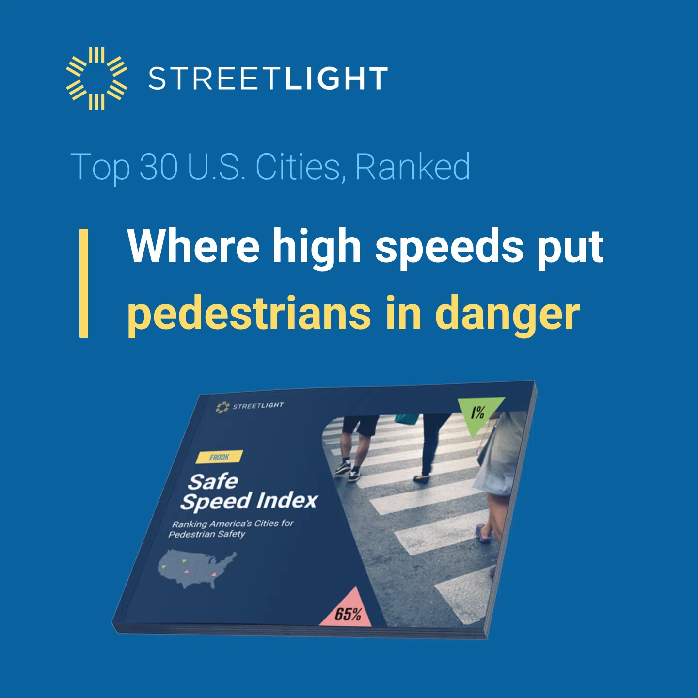
Safe Speed Index: Ranking America’s Cities for Pedestrian Safety
With pedestrian traffic deaths up over 80% since 2009, road safety is an urgent crisis. See where the top 30 American cities rank on unsafe traffic speeds and learn how you can use speed data to advance pedestrian safety.
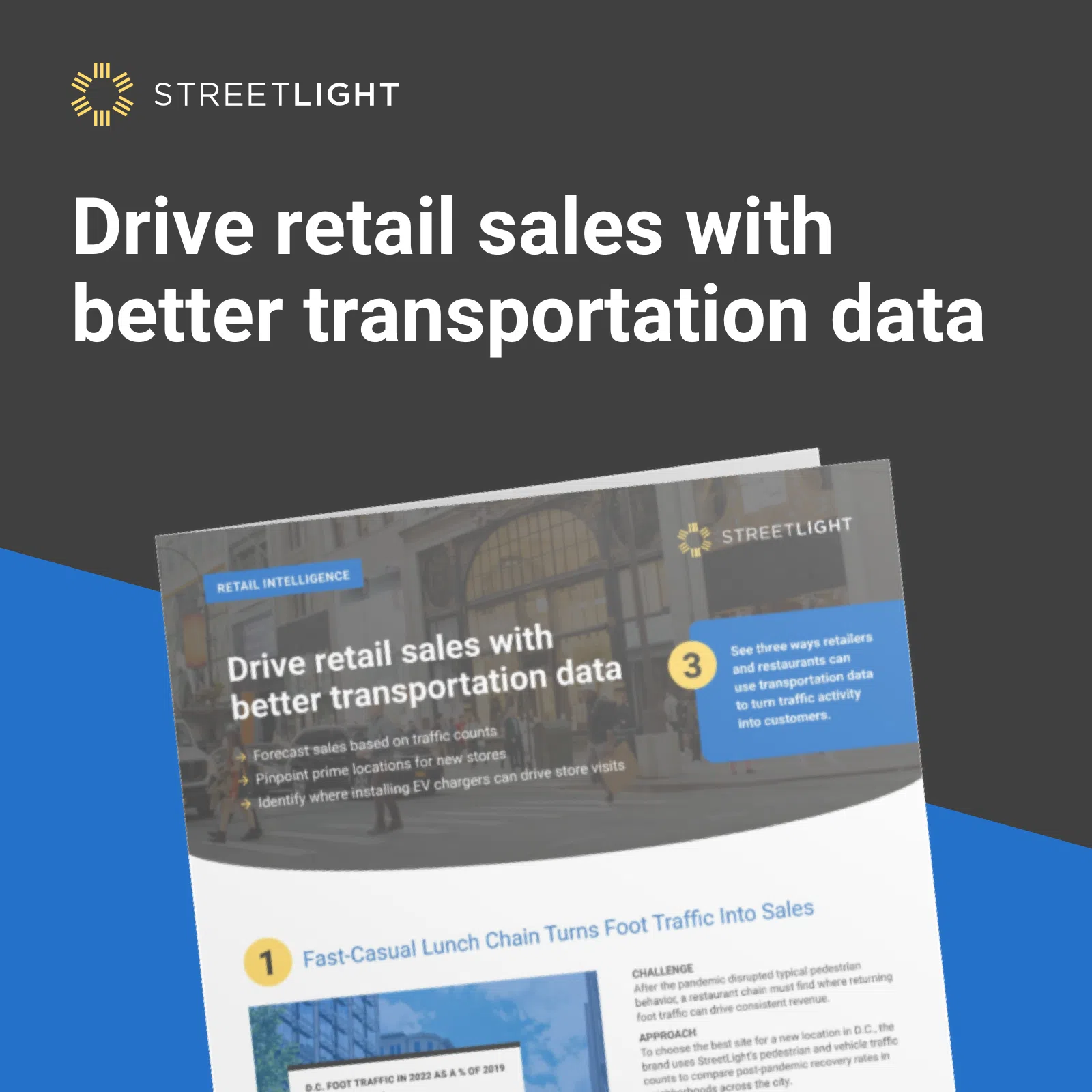
Three Ways to Enhance Retail Site Selection with Transportation Data
Learn how you can turn traffic data into sales by understanding where, when, how, and why your customers move.
Congestion Solutions Guide: Everything But Highway Expansion
Solve congestion without adding a single highway lane. Learn how to deploy analytics to develop lower-cost, higher-impact solutions. The report includes data-informed congestion solution strategies, real-world examples of efficient diagnosis and remedy, and charts and visualizations that help make the case for proposed improvements.
How Transportation Impacts Retail
Vehicle and foot traffic inform post-COVID retail recovery and site selection. Data-driven analysis reveals surprising findings on how vehicle and pedestrian traffic patterns are affecting retail vibrancy.
Safety Data Handbook: Practitioner’s Guide to Solving Transportation Safety
Our Safety Data Handbook shares key vehicle, bicycle, and pedestrian data, and how to use it for safety initiatives including Vision Zero, Complete Streets, MIRE requirements, and workplace safety.
Measure & Mitigate: Transportation Climate Data Solutions
Understand the link between transportation and climate change and see how data can help mitigate emissions, encourage active transportation, and more.
Downtown Congestion Post-COVID: Traffic Trends In The Top 10 U.S. Cities
See how rising post-COVID traffic congestion is impacting business centers in the top 10 U.S. cities and discover data-informed strategies to mitigate congestion while driving economic growth in your city.
Reconnecting Communities Pilot (RCP) Program Analytics Guide
RCP grants offer much-needed funding for projects aimed at redressing the harmful impact of infrastructure on disadvantaged communities. This guide shows how key demographics tied to mobility insights can uplevel your grant application.
A Guide to Ensuring Equity in Transportation
The Bipartisan Infrastructure Law (BIL) offers a historic opportunity to radically improve equity in transportation. The guide shows how new demographic traveler attributes can be put to use to measure and prioritize infrastructure projects based on equity impact.
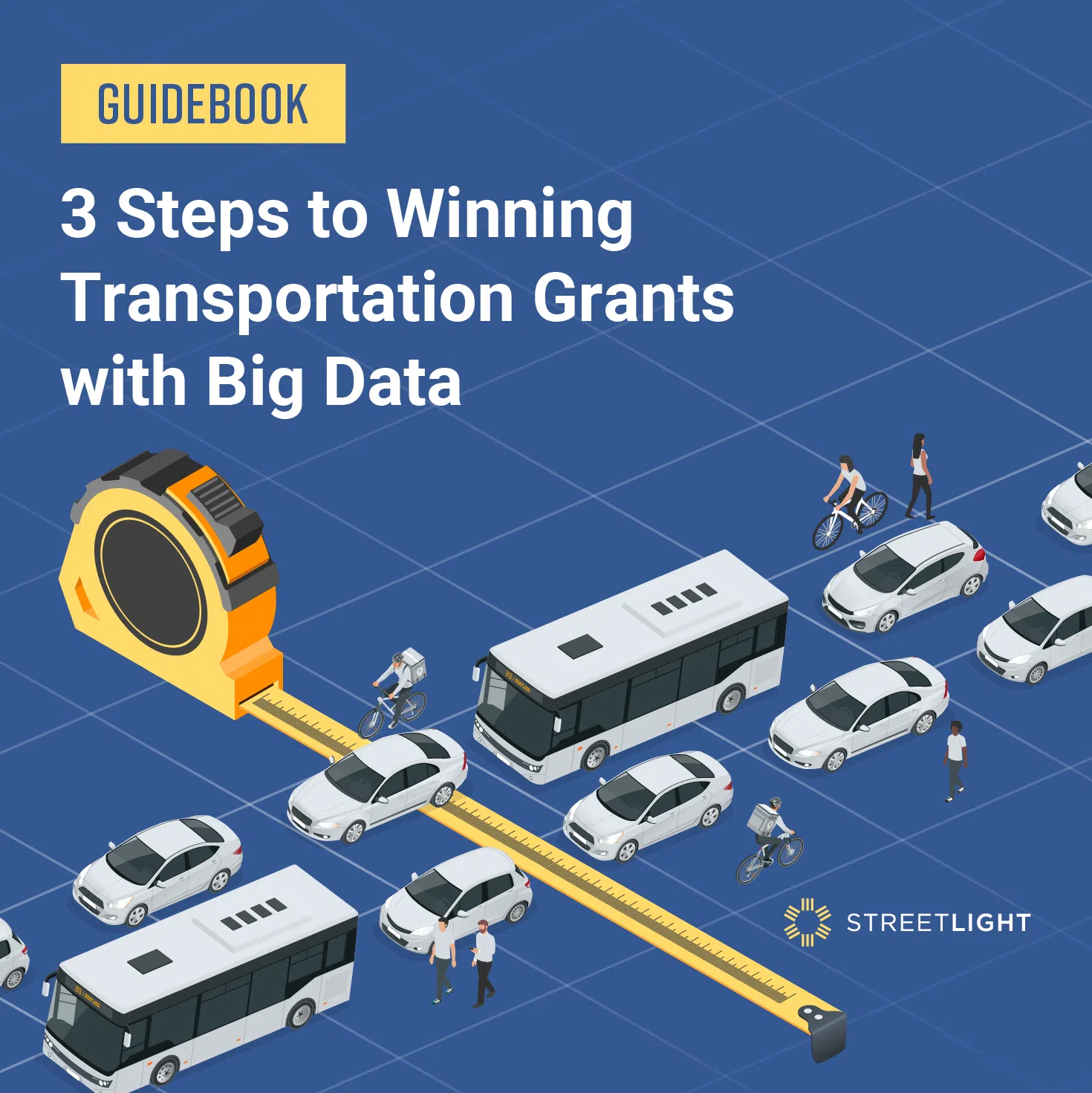
3 Steps to Winning Transportation Grants with Big Data
Ready to build an undeniable case for your next grant application? This guidebook focuses on digital transportation metrics used by successful applicants and provides a repeatable 3-step approach you can use – without deploying surveys or sensors.
The Bike Lane Effect: How Infrastructure Drives Impact — A Big Data Study
How can you best assess bike infrastructure’s impact? Read our study to see how a data-first approach can reveal important ridership impact trends.
COVID Trends eBook: U.S. Bicycling Trends 2021 Update
Where does your city rank on our Cycling Top 100? Read our new research, that uncovers the latest “winners” and “losers” and explores why. The eBook includes our national bicycling heatmap to get you up to speed quickly.
All Roads All Modes
Our Guide to the transportation data revolution explains how organizations are using transportation data to enhance sustainable, safe, and equitable travel.
Bike Safety Shift: Top 10 Riskiest States
Get a new perspective on bike safety and learn how to compare crashes to actual bike miles traveled instead of per-capita. We re-rank the Top 10 most dangerous, and safest, states for bicycling in the U.S..

A Year of Canadian Pandemic Travel
StreetLight’s Canadian pandemic travel analysis reveals where VMT recovered the most, recent changes to commuting patterns, an equity study, and more national, provincial, and city trends.
Measuring a Year of Pandemic Travel: Where Next?
Year-long pandemic travel analysis detailing where VMT is recovering the most, recent changes to commuting patterns, an equity study, and more national, state, and city trends.
Safety Data Handbook:
Practitioner’s Guide to Solving Transportation Safety
Our Safety Data Handbook shares key vehicle, bicycle, and pedestrian data, and how to use it for safety initiatives including Vision Zero, Complete Streets, MIRE requirements, and workplace safety.
Walk This Way: New Data for Pedestrian Safety
Pedestrian safety data analysis reveals unexpected nationwide shifts in pedestrian travel, a fresh way to evaluate increased exposure, and an example of using this data in Orlando, Florida.
2020 U.S. Transportation Climate Impact Index
The 100 largest metro areas in the U.S. ranked by best and worst transportation impact on greenhouse gas. See where your city succeeds, where it can do better, COVID-19’s effects, and the data to measure it.

Measuring Fall 2020’s Bicycle Renaissance
Learn where the great COVID “bicycle renaissance” is likely to hold beyond the pandemic: where bike activity remains strong, the sharpest drops in bike ridership, and where summer peaks are now dipping.
COVID Transportation Trends
StreetLight’s analysis of COVID transportation trends in 2020, including deep upheavals in peak commute congestion, VMT, bicycling, and what metrics to monitor now.
Post-COVID Climate Impact
Four cities that have potential to keep lower VMT and preserve the environmental benefit of COVID-19 quarantine.
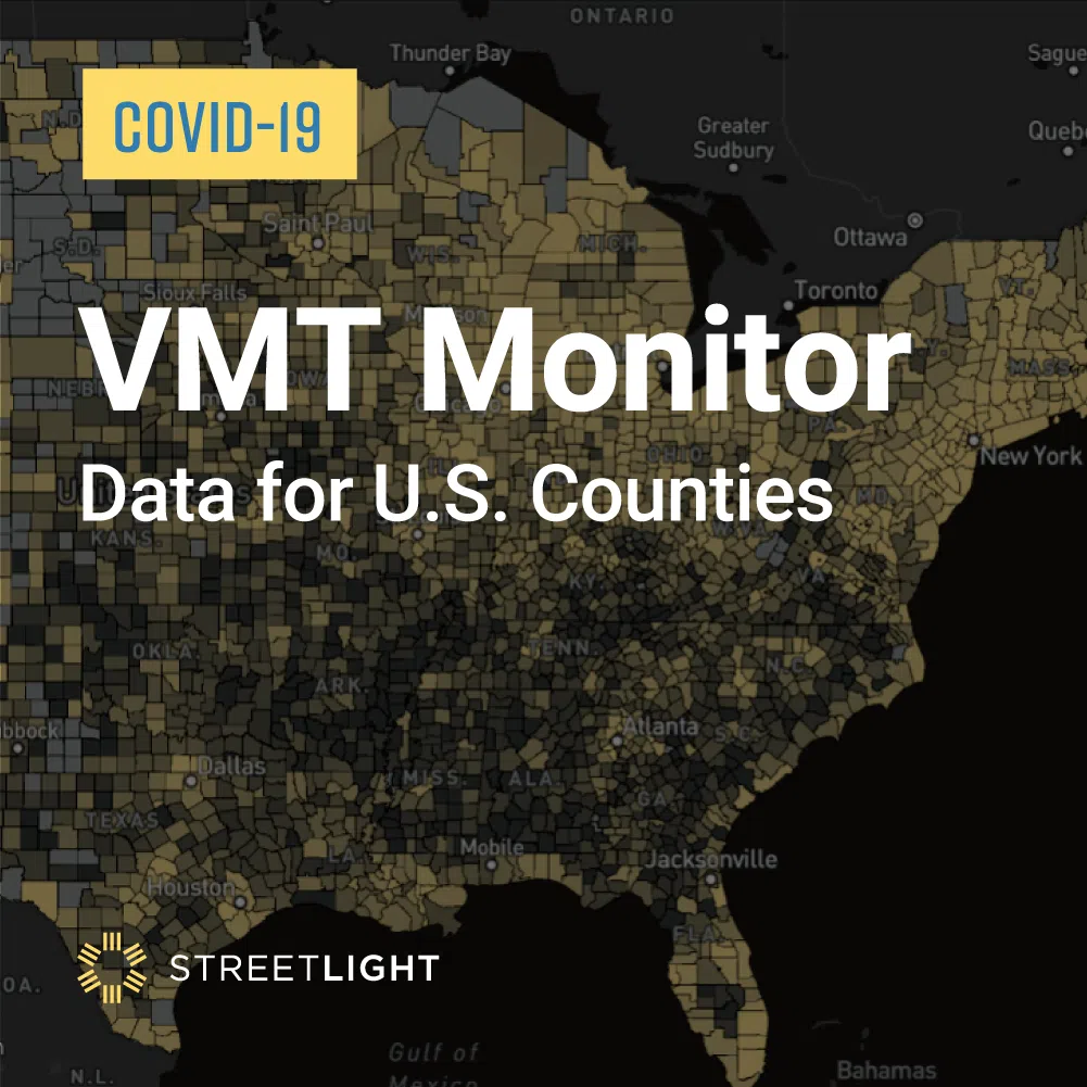
VMT Monitor
Get updated real-time traffic counts statewide, county by county, on StreetLight’s interactive VMT Monitor.
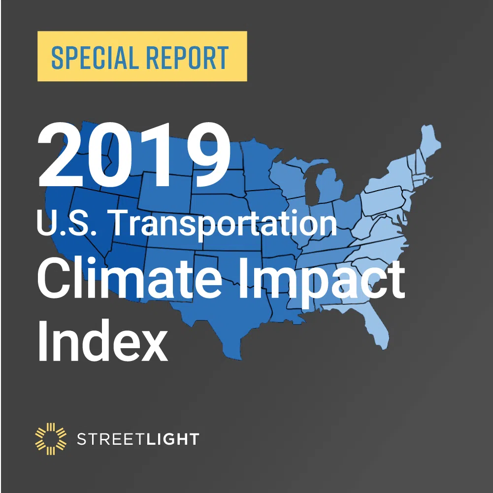
2019 U.S. Transportation Climate Impact Index
StreetLight ranks the country’s 100 largest metro areas on carbon-related transportation factors, including VMT, bicycle and pedestrian commutes, and circuity.

